- Books
- Action & Adventure Books
- Art, Architecture & Photography Books
- Biography books
- Books of society and social sciences
- Business, Finance & Law books
- Calendars, Diaries & Annuals
- Children's Books
- Comics & Graphic Novels
- Computing & Internet Books
- Crime, Thrillers & Mystery Books
- Education Studies & Teaching Books
- Erotic books
- Esoteric Books
- Fantasy books
- Fiction Books
- Food & Drink Books
- Health, Family & Lifestyle Books
- Historical Fiction Books
- History Books
- Home & Garden Books
- Horror Books
- Humour Books
- Languages Books
- Law books
- Political books
- Reference books
- Religion & Spirituality Books
- Romantic Novel
- School Books
- Science fiction books
- Science & Nature Books
- Scientific, Technical & Medical books
- Society, Politics & Philosophy Books
- Sports, Hobbies & Games books
- Textbooks
- Travel & Holiday Books
- Books for hikers
- Books of illustrated works
- Country and regional guides
- Maps and atlases
- Restaurant and hotel guides
- Tourist guides
- Travel guides by city
- Travel guides by theme
- Travel literature books
- Young Adult Books


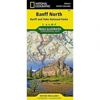
Banff North and Yoho National Parks Waterproof Tourist Map 1:100,000
Explore Banff and Yoho with a durable 1:100,000 map featuring detailed trails, elevations, water sources, wildlife zones, and topographic shading for hikers, bikers, and nature lovers. Its waterproof paper resists rain, making it ideal for backcountry adventures.
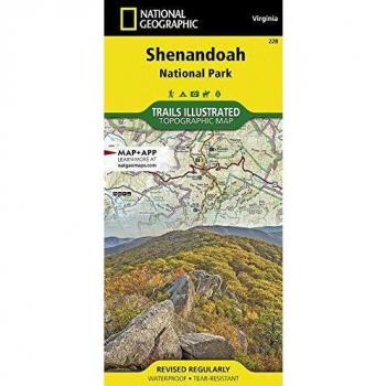
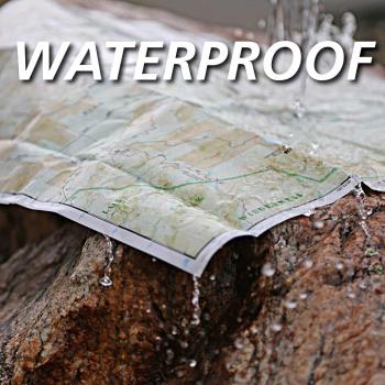
Jasper National Park Waterproof Topographic Map 1:100,000
Explore Jasper National Park with this durable, waterproof topographic map at a 1:100,000 scale, featuring detailed contour lines, trail markers, water sources, and elevation data for hikers and nature lovers.

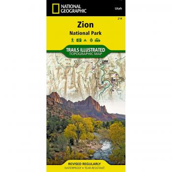
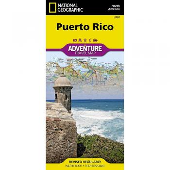
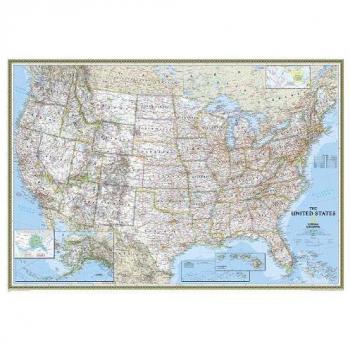
National Geographic Classic Wall Map of the United States - 43.5 x 30.5 Inches
A strikingly detailed wall map of the United States measuring 43.5 by 30.5 inches, it showcases every state with crisp borders and vibrant colors, offering a timeless reference for geography enthusiasts and decor alike.
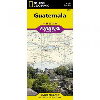
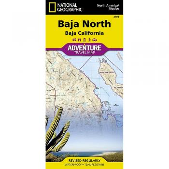
Baja California Norte Road Map 1:450,000 - Adventure and Travel Guide
Explore Baja California Norte with a detailed 1:450,000 road map that blends topographic precision and travel insights, guiding adventurers through scenic routes, key landmarks, and hidden gems across the region.

DK Eyewitness Travel Guide: Top 10 Milan and the Lakes
Explore Italy’s vibrant heart with this eye‑catching guide: uncover Milan’s iconic landmarks, hidden gems, and five must‑visit lakes.
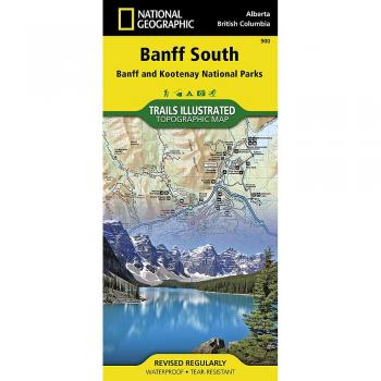
Waterproof Tourist Map of Banff South & Kootenay National Parks 1:100,000 - National Geographic
Explore Banff South & Kootenay National Parks with this durable, waterproof map at 1:100,000 scale, showcasing detailed trails, key landmarks, elevation contours, and shaded terrain for confident hiking adventures.

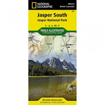
Jasper South Waterproof Hiking and Topographic Map (National Geographic)
Explore Jasper South with this durable, waterproof topographic map from National Geographic. Detailed contour lines, trail markers, and elevation data guide hikers through rugged terrain while resisting rain and wear.

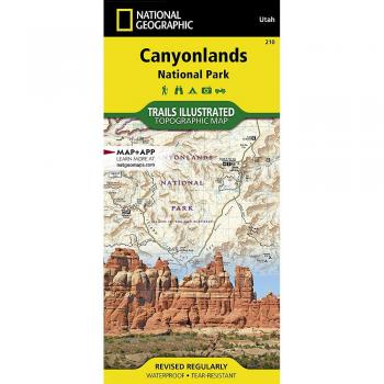
Canyonlands National Park Topographic Hiking Map 1:70,000
Discover the hidden valleys of Canyonlands with this precise topographic hiking map, showcasing contour lines, elevation contours, trailheads, water sources, and key geological features for confident exploration.

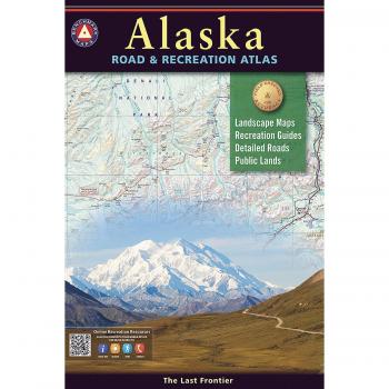
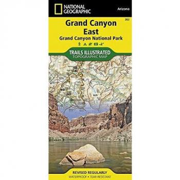
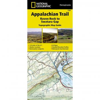
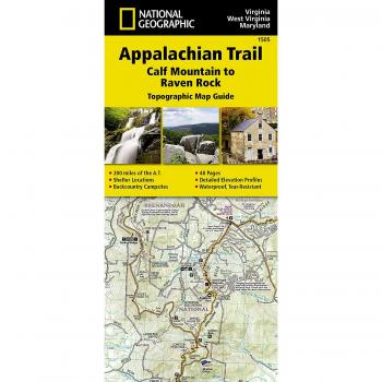
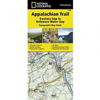
Appalachian Trail Hiking Atlas: Swatara Gap to Delaware Water Gap Map (1:63,360 Scale)
Explore the Appalachian Trail from Swatara Gap to Delaware Water Gap with this detailed atlas, featuring a 1:63,360 scale map that highlights trails, elevations, water sources, and key landmarks for confident navigation.