- Books
- Action & Adventure Books
- Art, Architecture & Photography Books
- Biography books
- Books of society and social sciences
- Business, Finance & Law books
- Calendars, Diaries & Annuals
- Children's Books
- Comics & Graphic Novels
- Computing & Internet Books
- Crime, Thrillers & Mystery Books
- Education Studies & Teaching Books
- Erotic books
- Esoteric Books
- Fantasy books
- Fiction Books
- Food & Drink Books
- Health, Family & Lifestyle Books
- Historical Fiction Books
- History Books
- Home & Garden Books
- Horror Books
- Horror books
- Humour Books
- Languages Books
- Law books
- Political books
- Reference books
- Atlases & Maps
- Historical Atlases & Maps
- Publisher & Series
- Collins
- Special Interests
- World Atlases & Maps
- Dictionaries & Thesauri
- Encyclopaedias
- Library & Information Sciences Books
- Religion & Spirituality Books
- Romantic Novel
- School Books
- Science fiction books
- Science & Nature Books
- Scientific, Technical & Medical books
- Society, Politics & Philosophy Books
- Sports, Hobbies & Games books
- Textbooks
- Travel & Holiday Books
- Young Adult Books
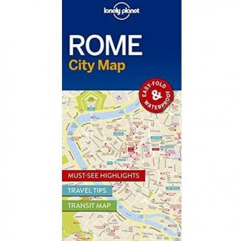
Lonely Planet Rome City Map
(9781786577801) - Dimensions: 95 x 197 x 7mm | 35g - Format: 2 pages - Publication place: Dublin 8, Ireland - ISBN: 9781786577801 - Languages: English - Lonely Planet Global Limited
![City Trails - London [AU/UK] 1](https://www.setupmyshop.com/img/846/aa2fadba9edab9f863991846.jpg)
City Trails - London [AU/UK] 1
(9781760342272) - 8+ - LONELY PLANET PUBLICATIONS - Lonely Planet Publications Ltd - Dimensions: 200 x 200 x 9mm | 321g - Edition statement: 1 st edition - Format: 104 pages - ISBN: 9781760342272 - Languages: English | Hit the headlines
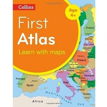
Collins First Atlas
(9780008101015) - Paperback / softback - New Second edition - Collins - HarperCollins Publishers - Dimensions: 240 x 185 x 4 mm - ISBN: 9780008101015 - Number of pages: 40 - Release date: 2014-12-04 - Weight: 140 g | Collins First Atlas
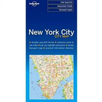
Lonely Planet New York City Map
(9781786574145) - Dimensions: 95 x 197 x 8mm | 36g - Edition statement: 1 st edition - Format: 2 pages - Publication place: Dublin 8, Ireland - ISBN: 9781786574145 - Languages: English - Lonely Planet Global Limited
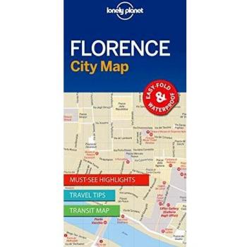
Lonely Planet Florence City Map
(9781786575036) - Dimensions: 95 x 197 x 7mm | 35g - Format: 2 pages - Publication place: Dublin 8, Ireland - ISBN: 9781786575036 - Languages: English - Lonely Planet Global Limited
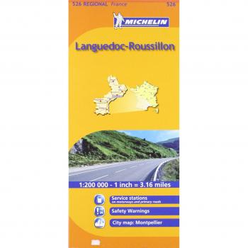
Languedoc-Roussillon Michelin Regional Map: Michelin Map 526 Languedoc Roussillon
Explore the historic heart of southern France with this detailed Michelin regional map, showcasing Languedoc‑Roussillon’s vineyards, medieval towns, and coastal routes in crisp, easy‑to-read layout.

Midi-Pyrenees Michelin Regional Maps: No. 525
Explore the Midi‑Pyrenees with this detailed Michelin regional map book, featuring a 1:200,000 scale layout that highlights roads, trails, and key landmarks across France’s scenic plateau.

Auvergne, Limousin Michelin Regional Map: No. 522
Explore Auvergne and Limousin with this detailed Michelin regional map, offering precise topography, road networks, and key landmarks for travelers seeking accurate navigation and scenic routes.

Poitou-Charentes Michelin Regional Map: No. 521
Explore Poitou‑Charentes with this detailed Michelin regional map, featuring a 1:200,000 scale that highlights roads, towns, rivers, and topographic contours for precise navigation and scenic planning.
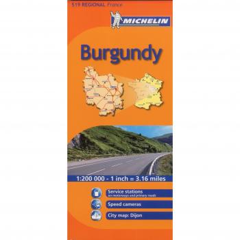
Burgundy Michelin Regional Map: No. 519
Explore Burgundy’s vineyards, historic towns and scenic routes with this detailed Michelin regional map, featuring precise topography, road networks, and key landmarks for travelers.
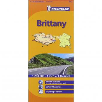
Brittany Michelin Regional Map: No. 512
Explore Brittany’s coastline and inland villages with this detailed 1:200,000 Michelin regional map, featuring topographic contours, road networks, and key landmarks for travelers and hikers alike.
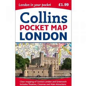
London Pocket Map
(9780008214173) - Country of publication: UNITED KINGDOM - Dimensions: 90 x 140 x 6mm | 40g - New edition - Collins - London, United Kingdom - HarperCollins Publishers - In Print - Format: 1 pages - Weight: 40 grams | Central London
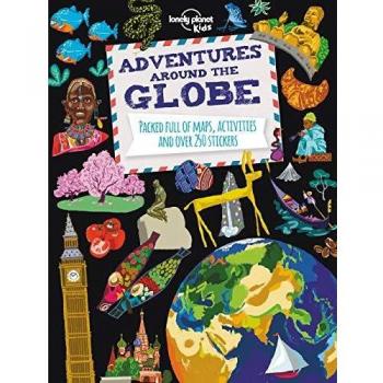
Adventures Around the Globe: Packed Full of Maps, Activities and Over 250 Stickers
Lonely Planet Publications (9781743607824)
![First Words- English 1 [AU/UK]](https://www.setupmyshop.com/img/165/a4206e9c643b366003970165.jpg)
First Words- English 1 [AU/UK]
(9781786577375)