- Books
- Action & Adventure Books
- Art, Architecture & Photography Books
- Biography books
- Books of society and social sciences
- Business, Finance & Law books
- Calendars, Diaries & Annuals
- Children's Books
- Comics & Graphic Novels
- Computing & Internet Books
- Crime, Thrillers & Mystery Books
- Education Studies & Teaching Books
- Erotic books
- Esoteric Books
- Fantasy books
- Fiction Books
- Food & Drink Books
- Health, Family & Lifestyle Books
- Historical Fiction Books
- History Books
- Home & Garden Books
- Horror Books
- Horror books
- Humour Books
- Languages Books
- Law books
- Political books
- Reference books
- Atlases & Maps
- Historical Atlases & Maps
- Publisher & Series
- Special Interests
- Road & Car
- Walking and Hiking
- Wall Maps
- World Atlases & Maps
- Dictionaries & Thesauri
- Encyclopaedias
- Library & Information Sciences Books
- Religion & Spirituality Books
- Romantic Novel
- School Books
- Science fiction books
- Science & Nature Books
- Scientific, Technical & Medical books
- Society, Politics & Philosophy Books
- Sports, Hobbies & Games books
- Textbooks
- Travel & Holiday Books
- Young Adult Books
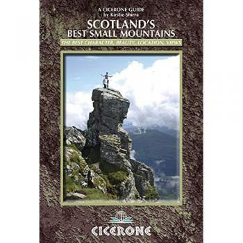
Scotland's Best Small Mountains: 40 of the best small mountains in Scotland under 3000ft
(9781852845780 / Illustrations, maps)

Yellowstone/Grand Teton National Parks, Map Pack Bundle Trails Illustrated National Parks
(9781597754002 / TI01020578)

Our National Parks
(9781423650393)

Backpacking Oregon: From River Valleys to Mountain Meadows
KLO80 (9780899977751) - Becky Ohlsen

The Art of Happiness
(9780143107217 / 20658012) - Dimensions: 197 x 137 x 18 mm - ISBN: 9780143107217 - Number of pages: 272 - Penguin Books Ltd - Weight: 208 g | Extracts from Diogenes Laertius'
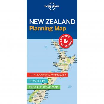
Lonely Planet New Zealand Planning Map
(9781786579041 / 46605274) - Dimensions: 95 x 197 x 10mm | 39g - Edition statement: 1st edition - Format: 2 pages - Publication date: 20 Jun 2017 - Publication place: Dublin 8, Ireland - ISBN: 9781786579041
Vietnam Travel Map
(9780794607494) - Dimensions: 104 x 260 x 10mm | 60g - Revised - Boston, United States - PERIPLUS EDITIONS - Edition statement: 8th Revised edition - Format: 1 pages - ISBN: 9780794607494 - Languages: English | Vietnam Travel Map

Semiology of Graphics: Diagrams, Networks, Maps
(9781589482616) - Dimensions: 223.52 x 266.7 x 33.02mm | 1,905.08g - Format: 436 pages - ISBN: 9781589482616 - Languages: English - Redlands, United States - Esri Press | Semiology of Graphics, Jacques Bertin'

The Old Ways: A Journey on Foot: Library Edition
(9781470816933) - Height: 190 mm - Spine width: 15 mm - Width: 135 mm - Blackstone Audiobooks - ISBN: 9781470816933 - Languages: English - Weight: 91 g

The Marches: A Borderland Journey Between England and Scotland
(9781328745651) - Height: 205mm - Spine width: 20mm - Width: 135mm - Mariner Books - Houghton Mifflin Harcourt - ISBN: 9781328745651 - Number of pages: 368 - Languages: English - Publication date: 19 Dec 2017

The Atlas of Ancient Rome: Biography and Portraits of the City - Two-volume slipcased set
(9780691163475 / 44947138) - Dimensions: 273 x 216 mm - Revised edition - Princeton University Press - Height: 293 mm - Spine width: 101 mm - Width: 238 mm - ISBN: 9780691163475 - Number of pages: 1280 | City of Rome & Atlas of Ancient Rome

Urban Rambles: 20 Glorious Walks Through English Cities
Frances Lincoln Publishers Ltd (9780711239746 / URBR) - Local history - Paperback - Frances Lincoln Limited Publishers - Frances Lincoln Publishers Ltd - Height: 169mm - Spine width: 31mm - Width: 210mm
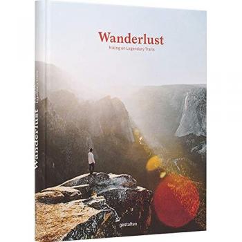
Wanderlust: Hiking on Legendary Trails
(9783899559019 / 46942684) - Dimensions: 300 x 240 mm - Adapted - Gestalten - Berlin, Germany - Die Gestalten Verlag - Edition statement: 4. Auflage - Format: 256 pages - ISBN: 9783899559019 - Number of pages: 256 | Practical tips

Coffee Atlas of Ethiopia
(9781842466605) - Country of publication: UNITED KINGDOM - Dimensions: (H) 299mm, (W) 218mm, (D) 17mm - Kew Publishing - Royal Botanic Gardens - In Print - ISBN: 9781842466605 - Page count: 128 | Coffee Atlas of Ethiopia
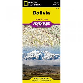
Bolivia Travel Maps International Adventure Map
(9781566956505)

The Old Ways: A Journey on Foot
(9781470816926) - Dimensions: 3208x1473 - Unabridged - Blackstone Audiobooks - Height: 145 mm - Spine width: 30 mm - Width: 132 mm - ISBN: 9781470816926 - Languages: English - Weight: 272 g
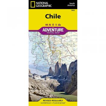
Chile adv. ng r/v
(9781566955461 / AD00003402)

Indian Himalaya lam. terraQuest
ED. TERRAQUEST (9788361155201)

Secret Walks: A Walking Guide to the Hidden Trails of Los Angeles
Santa Monica Press. Charles Lummis, who walked from Cincinnati to Los Angeles to take a job on the L.A. Times
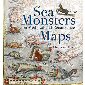
Sea Monsters on Medieval and Renaissance Maps
(9780712357715) - Country of publication: UNITED KINGDOM - Dimensions: (H) 240mm, (W) 222mm, (D) 12mm - The British Library Publishing Division - Out of stock at the publisher - ISBN: 9780712357715 - Page count: 128 | Sea monsters
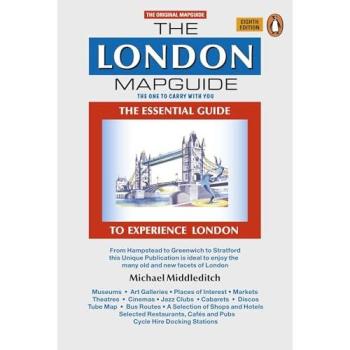
The London Mapguide
(9780241967362) - Dimensions: 141 x 210 x 4mm | 120g - Edition statement: 8th ed. - Format: 72 pages - ISBN: 9780241967362 - Languages: English - London, United Kingdom - Penguin Books Ltd | Revised edition & Michael Middleditch
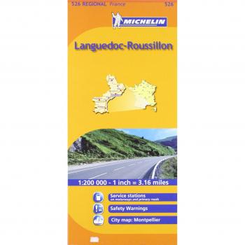
Languedoc-Roussillon Michelin Regional Map: Michelin Map 526 Languedoc Roussillon
Explore the historic heart of southern France with this detailed Michelin regional map, showcasing Languedoc‑Roussillon’s vineyards, medieval towns, and coastal routes in crisp, easy‑to-read layout.

Midi-Pyrenees Michelin Regional Maps: No. 525
Explore the Midi‑Pyrenees with this detailed Michelin regional map book, featuring a 1:200,000 scale layout that highlights roads, trails, and key landmarks across France’s scenic plateau.

Auvergne, Limousin Michelin Regional Map: No. 522
Explore Auvergne and Limousin with this detailed Michelin regional map, offering precise topography, road networks, and key landmarks for travelers seeking accurate navigation and scenic routes.

Poitou-Charentes Michelin Regional Map: No. 521
Explore Poitou‑Charentes with this detailed Michelin regional map, featuring a 1:200,000 scale that highlights roads, towns, rivers, and topographic contours for precise navigation and scenic planning.
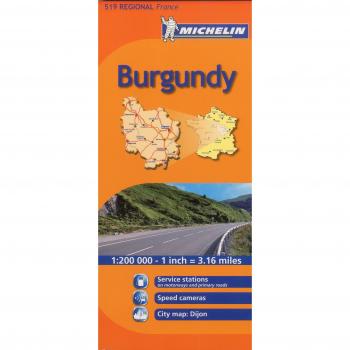
Burgundy Michelin Regional Map: No. 519
Explore Burgundy’s vineyards, historic towns and scenic routes with this detailed Michelin regional map, featuring precise topography, road networks, and key landmarks for travelers.

Brittany Michelin Regional Map: No. 512
Explore Brittany’s coastline and inland villages with this detailed 1:200,000 Michelin regional map, featuring topographic contours, road networks, and key landmarks for travelers and hikers alike.

Spain Northern adv. ng r/v
(9781566955386 / FBA_AD00003306)
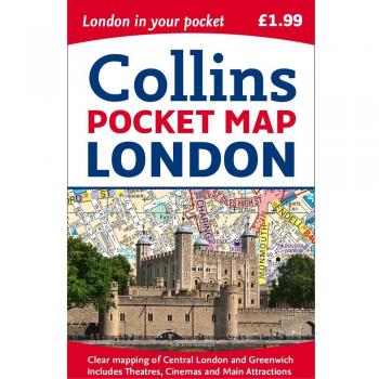
London Pocket Map
(9780008214173) - Country of publication: UNITED KINGDOM - Dimensions: 90 x 140 x 6mm | 40g - New edition - Collins - London, United Kingdom - HarperCollins Publishers - In Print - Format: 1 pages - Weight: 40 grams | Central London
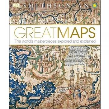
Great Maps: The World's Masterpieces Explored and Explained
DK Publishing (Dorling Kindersley) (9781465424631 / illustrations) - Brotton, Jerry - Hardcover - DK Publishing - Language: English - Pages: 256

Baleares - Michelin Regional Map 579: Map
Michelin Editions des Voyages (9782067184503 / colour mapping) | Map Michelin

The Pacific Crest Trail: Hiking the PCT from Mexico to Canada
(9781852849207) - Second edition - Cicerone Press - Height: 121 mm - Spine width: 22 mm - Width: 177 mm - ISBN: 9781852849207 - Number of pages: 352 - Languages: English - Publication date: 20 Dec 2018

The Coral Sea
(9780393341355 / 33258583) - Dimensions: 140 x 188 x 10mm | 120g - Reissue - New York, United States - WW Norton & Co - Format: Paperback | 96 pages - Publication date: 06 Mar 2012 - ISBN: 9780393341355 | Coral Sea

Epic Bike Rides of the World: Explore the Planet's Most Thrilling Cycling Routes
(9781760340834 / 44445652) - Country of publication: AUSTRALIA - Dimensions: 266 x 206 x 26 mm - Edition statement: 1st edition - Format: 328 pages - Publication date: 21 Oct - Height: 209 mm - Spine width: 29 mm | Lonely Planet